

Geomatics
At N&P, we transform geospatial data into strategic solutions. Using imagery and official geodetic bases, we generate high-fidelity 2D and 3D models that guarantee precise and reliable terrain information.
DOWNLOAD THE BROCHURE
1. Topography
We perform topographic surveys by integrating total stations and digital photogrammetry. We offer exact technical descriptions, 100% traceable field data, and high-fidelity digital modeling (point clouds and DTM) for project development.
When is it required?
- Control points and support networks
- Altimetric plans
- Perimeter, site, and location plans
- Stakeout plans
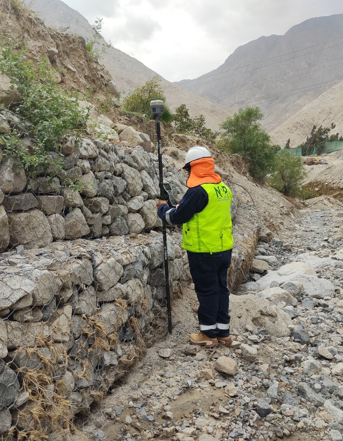
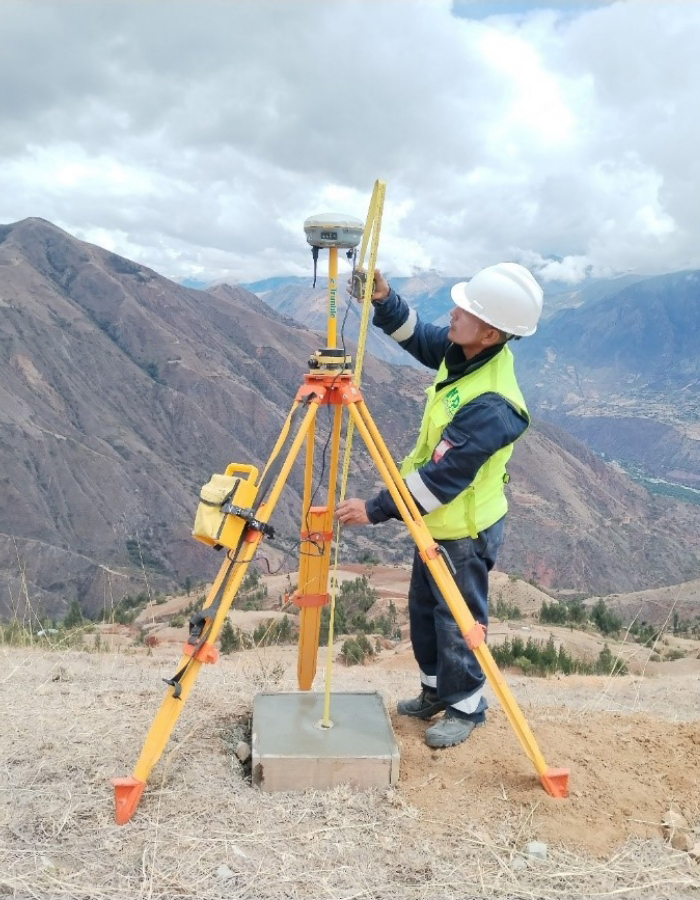
2. Geodesy (Geodetic point certification)
We establish control points linked directly to the National Geodetic Network, following the standards of the National Geographic Institute (IGN). It is the technical and legal cornerstone that ensures all subsequent surveys are accurate.
When is it required?
- Engineering and infrastructure projects
- Property management and urban-rural cadastre
3. Cartography
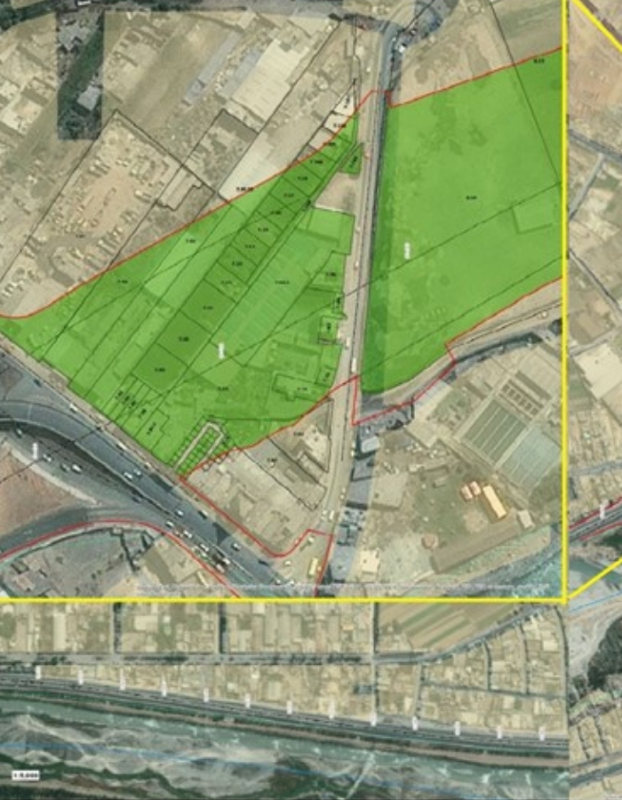
We design interactive maps with millimeter precision to identify land overlaps, structure cadastres, and ensure physical-legal sanitation without contingencies. Being linked to the IGN, our cartography is a key strategic tool for decision-making.
When is it required?
- Perimeter and site plans
- Property impact plans (easement strips)
- Digital and relief models (altimetry): DTM, DSM, and contour lines.
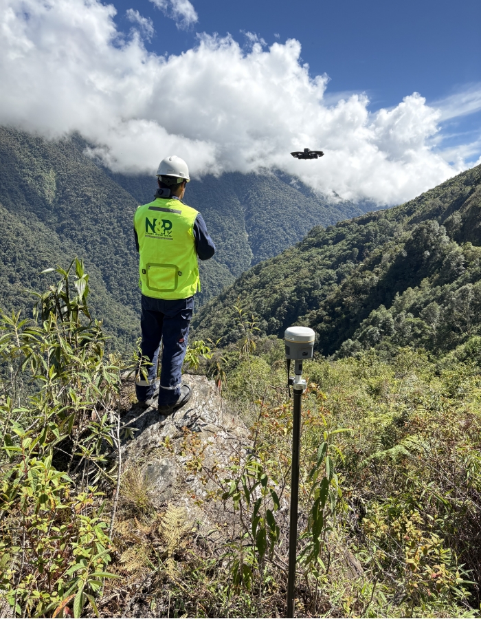
4. Photogrammetry
High-resolution aerial image capture for relief reconstruction, generating orthomosaics and georeferenced three-dimensional models. Mention drone equipment.
When is it required?
- Orthomosaic (high-resolution orthophoto)
- Three-dimensional (3D) and relief models
- Volume calculation
- Delimitation of boundaries and easement strips
- Photogrammetric restitution (vector cartography)