

Land Management
At N&P, we develop specialized comprehensive land management services aimed at ensuring the territorial viability of projects, from technical-legal diagnosis to land valuation and regularization.
DOWNLOAD THE BROCHURE
1. TECHNICAL DIAGNOSIS AND PHYSICAL-LEGAL REGULARIZATION
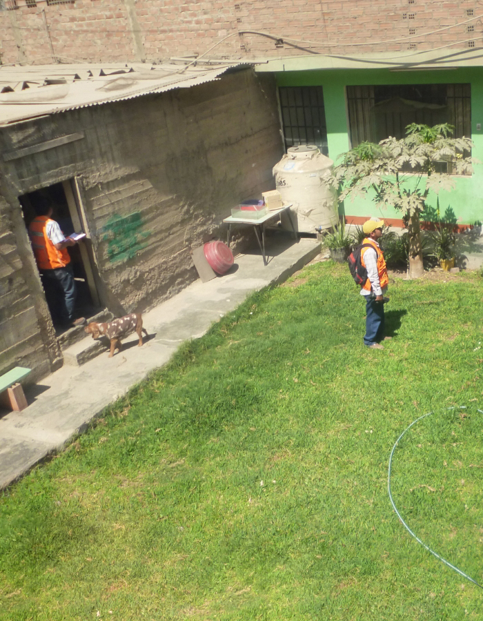
We provide a comprehensive analysis of the area where the project will be executed. We identify existing rights and interferences on the land to mitigate contingencies and plan land acquisition. The area is overlaid with the various available cadastral databases and corroborated with the on-site status to define physical differences. The socio-environmental aspect of the surroundings is analyzed to identify associated risks and plan their mitigation.
When is it required?
- Lack of knowledge regarding the legal condition, ownership, or encumbrances on a specific area.
- Incomplete, outdated, or contradictory property documentation.
- Legal support prior to the acquisition of real estate or the establishment of easements.
- Existence of interferences.

2. LAND MEASUREMENT
This allows for a detailed understanding of the physical characteristics of a plot of land to create its cartography. We develop this service linked to the IGN’s national geodetic network using Differential GPS equipment to ensure millimeter precision.
When is it required?
- Measurement of urban and rural land, lots, or parcels.
- Demarcation, boundary definition, or physical-legal regularization of a property.
- Support or complement to expert appraisal reports.
- Registration of easements or expropriation processes.
- Leveling and profiles for engineering projects.
- Setting out of construction works.

3. URBAN AND RURAL CADASTRE MANAGEMENT
Aimed at the technical inventory of real estate through the registration of its physical and economic characteristics, types of infrastructure, and possession or ownership rights. We structure detailed graphic databases using GIS technologies and under official IGN regulations.
When is it required?
- Consolidation of property inventories for socio-economic development and decision-making.
- Identification and registration of properties in vulnerable areas.
- Specialized cadastre of influence areas for civil and infrastructure works.

4. APPRAISAL OF URBAN AND RURAL PROPERTIES
We determine the real commercial value of a property under the National Appraisal Regulations. We conduct technical inspections evaluating buildings, land use, inventory of existing assets, and their agrological characteristics.
When is it required?
- Negotiations for purchase-sale, lease, or transfer of possession.
- Expropriation processes, establishment of easements, or calculation of indemnities.