

The National Center for Disaster Risk Estimation, Prevention and Reduction (CENEPRED) and the private sector are working in coordination for the benefit of local governments affected during this rainy season.
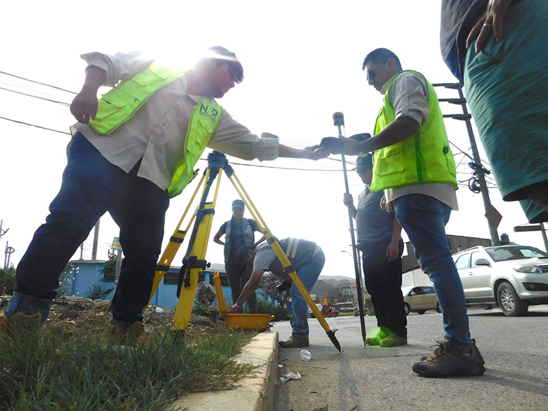
The National Center, in collaboration with the company N&P Forest Wood Work, collected detailed data using the Remotely Piloted Aircraft System (RPAS) (drones) to generate mapping of the area exposed to flood hazards from the Chillón River, in the Malecón Chillón and Avenida Malecón sectors in the district of Comas, and the Pardo Novoa, El Platanal and Villa Cruz housing associations in the district of Puente Piedra.
During the activity, information was generated to support decision-making within the framework of Disaster Risk Management (GRD) associated with hazards such as floods and mudslides, thereby strengthening public-private collaboration to create value from cartographic data.
It should be noted that the products generated will be made freely available to the local governments of Puente Piedra and Comas, as well as to civil society, through the Disaster Risk Management Information System (SIGRID) platform.
It is worth noting that SIGRID is a free-access geospatial web platform designed to consult, share, analyze and monitor information related to hazards, vulnerabilities and risks arising from natural events.