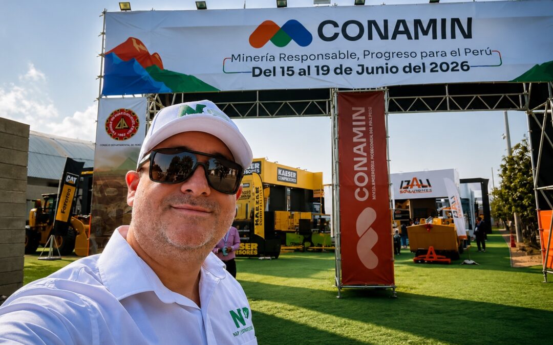


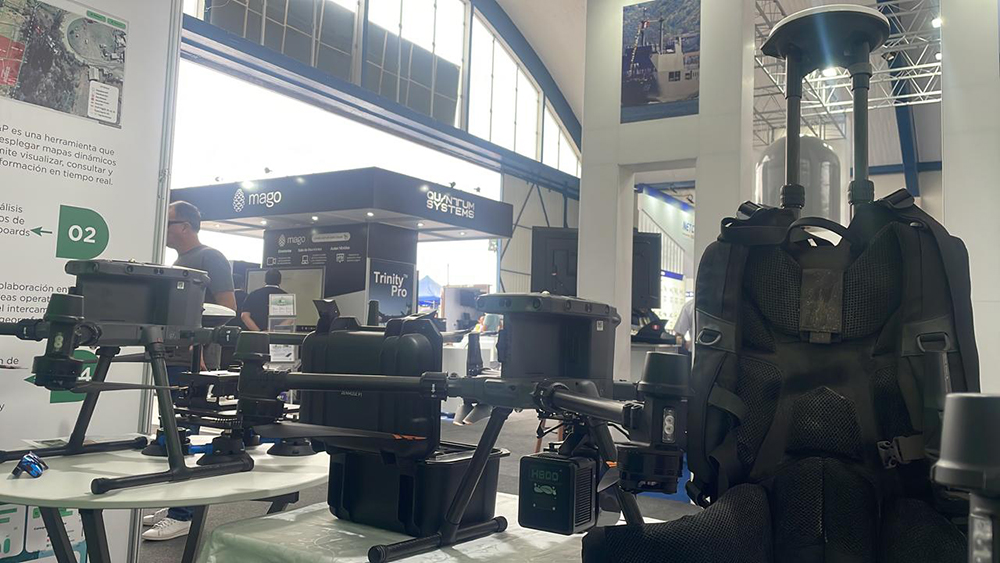
At the recent edition of the SITDRONE fair, held from November 21 to 24 at Las Palmas Air Base, one of the most relevant events for the drone technology and digitalization sector, N&P positioned itself as a benchmark in innovation and quality by presenting its advanced photogrammetry services with LiDAR sensors. This event, which brought together the main players in the sector, allowed the company to showcase its capabilities in the use of cutting-edge technology for geospatial data capture, a fundamental tool in various sectors such as hydrocarbons, energy, land surveying, forestry, road infrastructure, and mining.
Technological Innovation at the Service of Photogrammetry
Photogrammetry with LiDAR is a technique that uses lasers to measure distances and generate high-precision three-dimensional models of terrain or structures. During its participation at the SITDRONE fair, N&P presented its data capture solutions using drones equipped with LiDAR sensors, which allow obtaining detailed topographic models even in complex or difficult-to-access terrain.
Thanks to this technology, the data collected is much more precise and detailed than that generated by traditional methods. In addition, LiDAR has the ability to penetrate vegetation, which is particularly useful in data collection in wooded areas or dense vegetation, something that represents a challenge with other measurement techniques.
A Participation that Reaffirms the Commitment to Innovation
N&P’s presence at the SITDRONE fair did not go unnoticed. Its value proposition highlighted the importance of drone technology in the digitalization and improvement of processes in various industries.
Through its participation, N&P demonstrated its commitment to innovation and the constant search for solutions that optimize data collection and decision-making in complex projects. Without a doubt, its contribution to the event reaffirms its role as a key player in the field of drone technology and advanced geolocation.